Yorktown Battlefield Part of Colonial National Historical Park
10 mi north · National Park Service
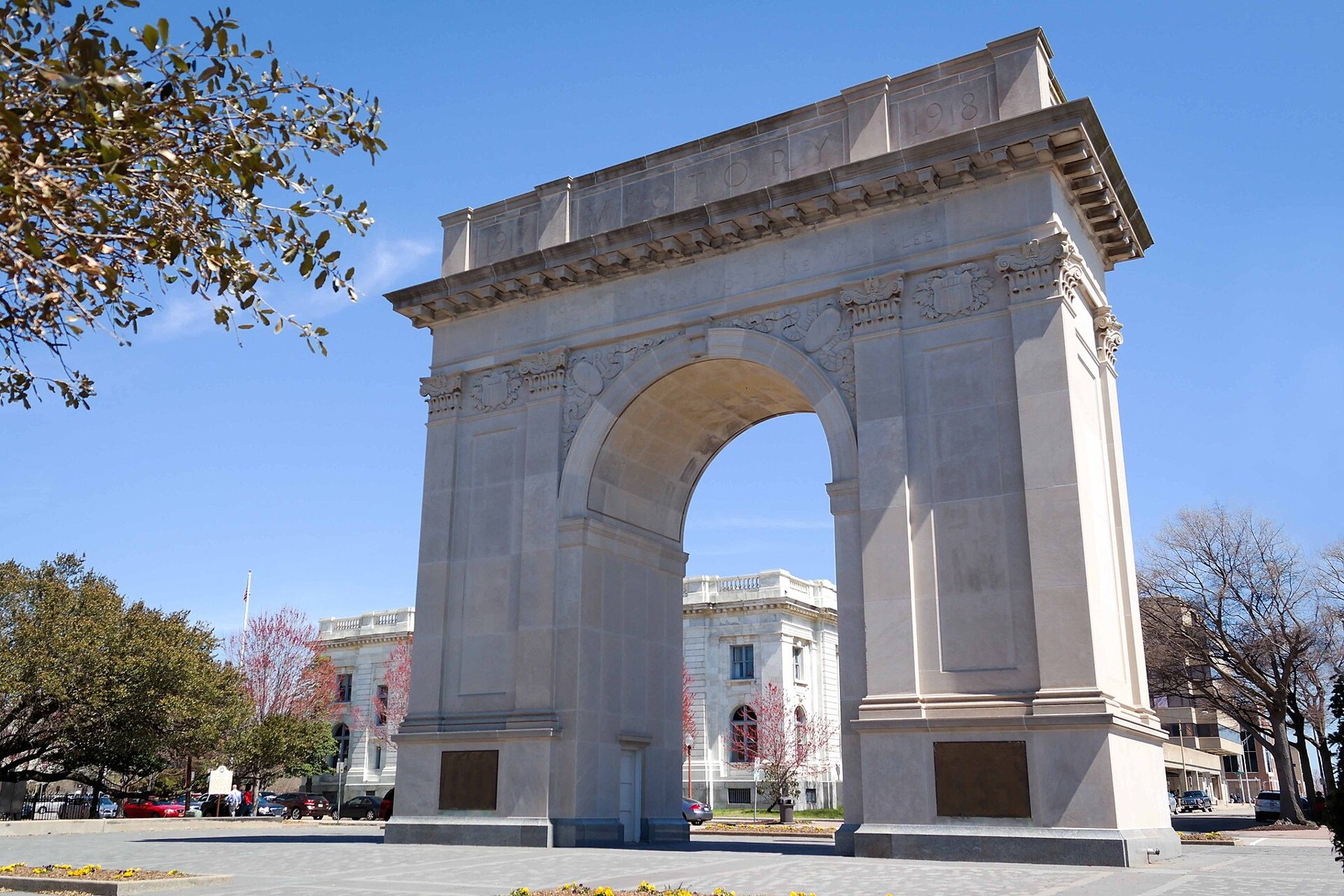
Discover what it took for the United States to be independent as you explore the site of the last major battle of the Revolutionary War.
Outdoors
Trails and recreation areas near Newport News open to biking and mountain biking.
Good to know: Wilderness areas are closed to bikes; check each area’s trail rules and yield to hikers and horses.
10 mi north · National Park Service
Discover what it took for the United States to be independent as you explore the site of the last major battle of the Revolutionary War.
13 mi east · National Park Service
Fort Monroe's story spans from prehistory to the 2000s. Kecoughtan Indians occupied Old Point Comfort before the arrival of English colonists. The first enslaved Africans arrived in 1619.
24 mi northwest · National Oceanic and Atmospheric Administration
The Chesapeake Bay (VA) National Estuarine Research Reserve features four components that are all within the York River basin--Goodwin Islands, Catlett Islands, Taskinas Creek and Sweet Hall Marsh.
Map of 18 places loads as you scroll.
Discover what it took for the United States to be independent as you explore the site of the last major battle of the Revolutionary War.
Fort Monroe's story spans from prehistory to the 2000s. Kecoughtan Indians occupied Old Point Comfort before the arrival of English colonists. The first enslaved Africans arrived in 1619.
The Chesapeake Bay (VA) National Estuarine Research Reserve features four components that are all within the York River basin--Goodwin Islands, Catlett Islands, Taskinas Creek and Sweet Hall Marsh.
Lying at the tip of the Delmarva Peninsula, the Eastern Shore of Virginia National Wildlife Refuge serves as one of the country's most valuable stopovers for migratory birds.
Back Bay National Wildlife Refuge was established in 1938 to protect and provide habitat for migratory and wintering waterfowl, or ducks, geese and swans.
Congress established the Mackay Island National Wildlife Refuge on December 30, 1960, by the authority of the Migratory Bird Conservation Act of 1929.
Two hundred ninety-two days, eight offensives, over 70,000 casualties, U. S. Colored Troops, and the decline of Gen. Lee's Army of Northern Virginia all describe the Siege of Petersburg. U.S.
Currituck NWR, located on the northern end of North Carolina's Outer Banks, was established in 1984 to preserve and protect the coastal barrier island ecosystem.
The Popes Creek Picnic Area Pavilion is located within George Washington Birthplace National Monument. The surrounding picnic grounds were built by the Civilian Conservation Corps in the 1930's.
The 110,000-acre Pocosin Lakes National Wildlife Refuge conserves a rare type of wetland habitat, known as "pocosin," derived from a Native American word meaning "swamp on a hill." In 1963, Pungo NWR was established for the protection of…
Visitors eligible for reservations at this location are limited to Active Duty, Reservists, Retired Military, Unremarried Widow, Veterans and Department of Defense employees.
Located on the Indigenous homelands of the Pocomoke and Occohannock people, Chincoteague National Wildlife Refuge protects beach, dune, marsh, and maritime forest habitats.
Alligator River National Wildlife Refuge is located on the Albemarle Peninsula in eastern North Carolina. The refuge was established in 1984 to protect the rare pocosin wetlands and their associated wildlife.
Assateague Island National Seashore is a 37-mile long barrier island on the Atlantic Coast of Maryland and Virginia.
North Bend Park is located on John H. Kerr Reservoir, a 50,000-acre lake that extends 39 miles up the wooded, cove-studded shoreline of the Roanoke River in Virginia and North Carolina.
Cabin Camp 3 is located in Prince William Forest Park and is one of five large cabin camp facilities located in the park. Camp 3 is the only camp where visitors can rent a single cabin. There are thirteen cabins available for rent.
Telegraph Picnic Pavilion is a covered pavilion with twelve picnic tables located in Prince William Forest Park, 35 miles (56 km) southwest of Washington, D.C.
Oak Ridge Campground is a 100-site, wooded campground located in Prince William Forest Park, 35 miles (56 km) southwest of Washington, DC.
Distances are straight-line miles from the center of Newport News. Listings come from Recreation.gov’s federal recreation database; check each official page for hours, fees, fire restrictions and closures before you go.

THINGS TO DO · YOUTUBE SHORT
A local activity video.
Watch on YouTube ↗
THINGS TO DO · YOUTUBE SHORT
A local activity video.
Watch on YouTube ↗


Yorktown Battlefield Part of Colonial National Historical Park (National Park Service), about 10 miles north of Newport News as the crow flies. Next are Fort Monroe National Monument (13 mi) and Chesapeake Bay Virginia National Estuarine Research Reserve (24 mi).
Based on Newport News’s average highs, September–June. Conditions at higher elevations can be much cooler.
Federal agencies including National Park Service, Fish and Wildlife Service, National Oceanic and Atmospheric Administration. Each listing links to its official page for hours, fees, closures and current conditions.